
|
|
Town Proclamation
Historical Society President, Ken Liss, Recognized By The Brookline Select Board
The Brookline Select Board, at its regular meeting on Tuesday, March 24, 2026, recognized longtime Brookline Historical Society President Ken Liss for his outstanding contributions to preserving and sharing the rich and diverse history of the Town of Brookline. Select Board Chair Bernard Greene read the Citation (below) to a live audience that included friends and colleagues of Liss, regular attendees, and a virtual audience connected by Brookline Interactive Group's television programming and on Zoom. Liss humbly accepted the Select Board's praise and spoke briefly of his history with the Brookline Historical Society and the enjoyment he found in leading the organization and telling the stories of Brookline's people and places. Town Meeting Member Precinct 17 and member of the Housing Advisory Board Jonathan Klein helped to organize the event. 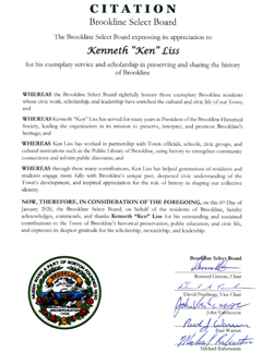  Our Latest Archive Additions
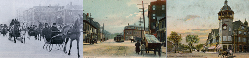
We are adding new historical photos weekly. Follow our latest additions here:
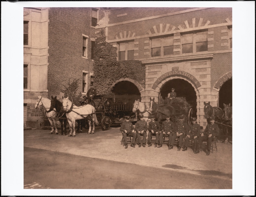
Fire Station G (now Station 7), Washington Sq., circa 1907
[Courtesy of the Digital Commonwealth (CC BY-NC-ND). From the Brookline Photograph Collection published by the Public Library of Brookline]
President Ken Liss Blogs on Brookline Past & Present
Brookline Record Stores: From Edison's Phonograph to Village Vinyl In 2024, I sold my collection of a few hundred vinyl record albums to Jonathan Sandler of Village Vinyl & Hi-Fi in Coolidge Corner. They were mostly jazz albums I'd bought in the 1970s and 1980s, including quite a few older albums I'd picked up in used record bins during those pre-CD years.  The covers of the album, as well as the music on them, carried a lot of sentimental value for me. But I hadn't actually owned a turntable for years, and I was glad that, in addition to providing me some extra cash, the music would find new owners/listeners, especially amid a growing appreciation for vinyl.
|