 |
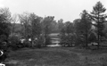
Hall's Pond and Amory Park, circa 1910
Photographed from the backyard of the house of wealthy heiress Blanche Shimmin at 156 Ivy St. (still standing). The view is across Halls Pond toward Amory St. Faintly visible on the far right is 36 Amory St.
|
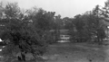 |
Hall's Pond and Amory Park, circa 1910
Photographed from the backyard of the house of wealthy heiress Blanche Shimmin at 156 Ivy St. (still standing). The view is across Halls Pond toward Amory St. Partially visible in the center is 14 Amory St. A stone wall which is also still standing in the park can also be seen.
|
 |
Salisbury Rd., November 1915
Looking east from Williston. #51 foreground left.
[Source: Olmsted]
|
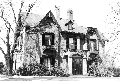 |
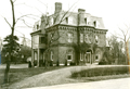
Frederick Sears House, 24 Cottage Farm Rd.
In 1849, David Sears laid out the Cottage Farm neighborhood and built houses for himself, his four daughters, and this house for his son, Frederick, which still stands.
[Source: Brookline Preservation Department]
|
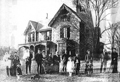 |
24 Cottage Farm Rd.
In 1849, David Sears laid out the Cottage Farm neighborhood and built houses for himself, his four daughters, and this house for his son, Frederick, which still stands. The large apparently-extended family is unidentified.
[Source: Brookline Preservation Department]
|
 |
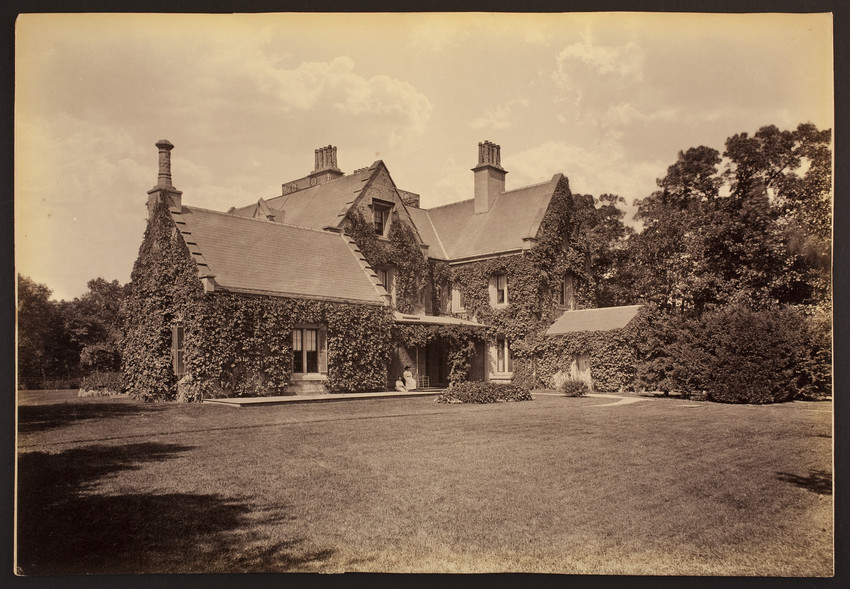
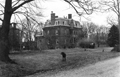
Home of Amos Lawrence, Prescott St.
Looking east on Ivy St. to the right.
[Source: Brookline Preservation Department]
|
 |
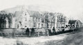
Original Home of Amos Lawrence, Prescott St.
Looking southeast at the original location of the house on Prescott St. Ivy St. is to the right and a faint image of the tower of the Episcopal Church of Our Saviour on the corner of Carlton and Monmouth can be glimpsed in the distance on the right. The house was built in 1851 by Amos Lawrence and, in the summer of 1899, turned ninety degrees counter clockwise and moved a small distance to its present location at 135 Ivy St. where it is now the home of the president of Boston University.
[Source: Digital Commonwealth]
|
 |
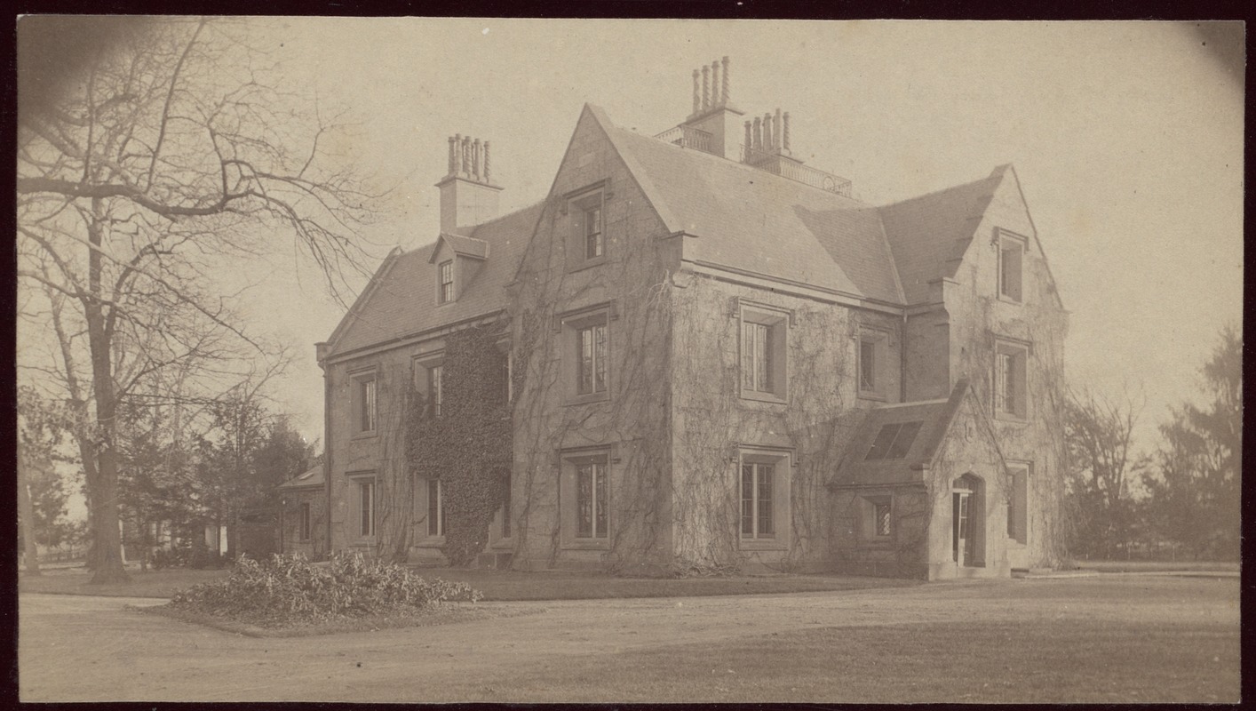
Home of Amos Lawrence, Prescott St.
Looking northwest at the rear of the Prescott St. house of Amos Lawrence viewed from the location of present-day Carlton St. The house was later turned ninety degrees counter clockwise and moved a small distance to its present location at 135 Ivy St., now the home of the president of Boston University.
[Source: Historic New England]
|
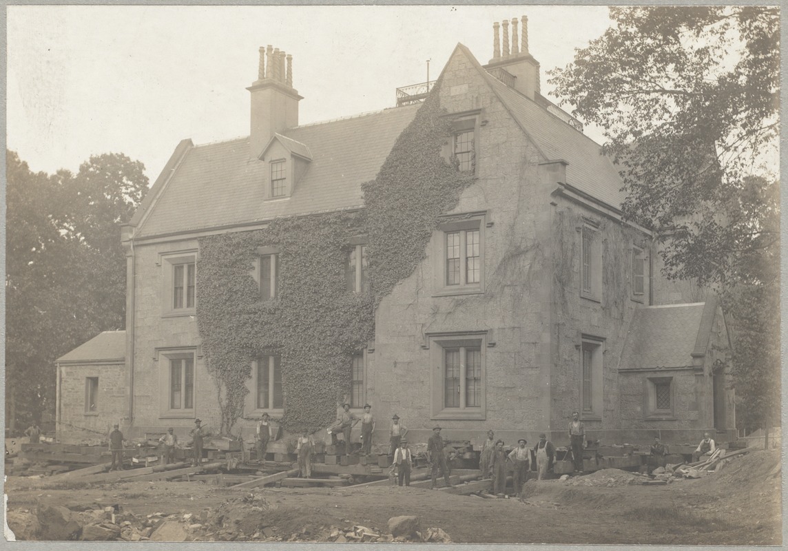 |
Relocation of Former Amos Lawrence House From Prescott St. to Ivy St., Summer 1899
The house was built in 1851 on Prescott St. by Amos Lawrence. After his death in 1886, ownership of the house was assumed by his daughter, Hettie Cunningham. By 1899, Euston St. had been opened as a public way along with an extension of Carlton St. northward from Ivy St. to Mountfort St. This created a new block suitable for development and the Cunninghams divided the block into a 2 x 3 matrix of individual lots. The house is being is being turned ninety degrees counter clockwise and moved a small distance from the center of the block to the pair of lots at the corner of Carlton and Ivy where the house is at its present location of 135 Ivy St., now the home of the president of Boston University.
[Source: Digital Commonwealth]
|
 |
23 Prescott St.
[Source: Brookline Preservation Department]
|
 |
23 Prescott St.
The rear of the house is on the left. To the left is 9 Prescott St., still standing. In the distance on the right is the rear of 132 Carlton St., still standing.
[Source: Brookline Preservation Department]
|
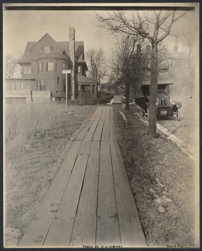 |
Lancaster Terrace, February 5, 1921
138 Lancaster Terrace is on the left, the rear of 232 Summit Ave. is on the right, both still standing. Photo by Henry A. Varney, Brookline town engineer, whose car is in the photo.
[Source: Digital Commonwealth]
|
 |
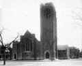
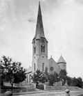
Leyden Congregational Church
, 1841 Beacon St.
Built in 1910
|
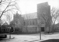 |
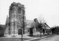
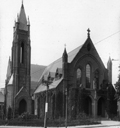
St. Mark's Church, Park St.
Park St. in front, Vernon St on the right
|
 |
St. Mark's Church, Park St.
[Source: Digital Commonwealth]
|
 |
Baptist Church, Beacon & Park Sts.
In early 1908, the church moved here from its prior location at the corner of Pierce and Harvard. The Presbyterian Church then relocated from its Prospect St. location to the old Baptist Church building in early 1910. When the church was demolished in 1973 the bell was saved from the tower and is now in the courtyard of the new building on the site.
|
 |
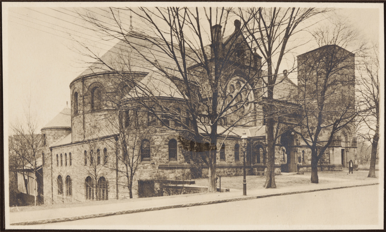
All Saint's Church
Beacon St. and Dean Rd.
|
 |
Baptist Church, 1876
Harvard St., corner Pierce St. From the series of photographs of the Village by Richard Hills.
[Source: Brookline Preservation Department]
|
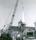 |
Rebuilding of the First Presbyterian Church, 1961
Holden St. The steeple and underlying structure are being raised for the new building after fire destroyed the church building on the corner of Harvard and Pierce.
[Source: Brookline Preservation Department]
|
 |
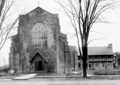
St. Mary of the Assumption Church, Built 1886
Corner of Harvard St. and Linden St. Built to serve newly immigrated Irish Catholics.
|

