 |
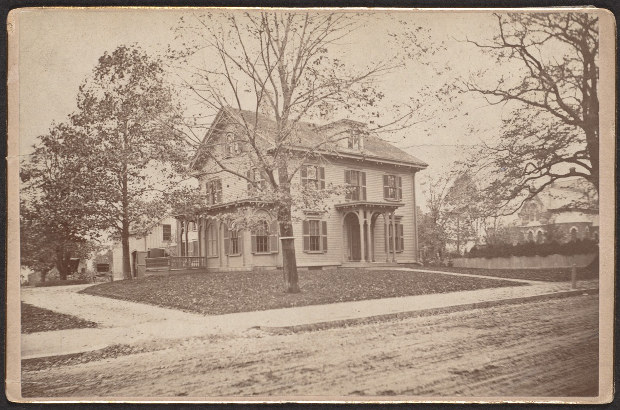
190 Harvard St.
Northwest corner of Vernon St., no longer standing.
[Source: Digital Commonwealth]
|
 |
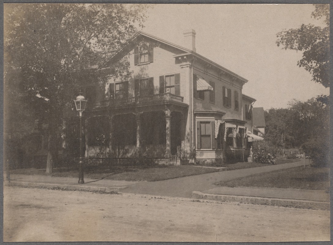
Charles H. Stearns House, 265 Harvard St.
[Source: Digital Commonwealth]
|
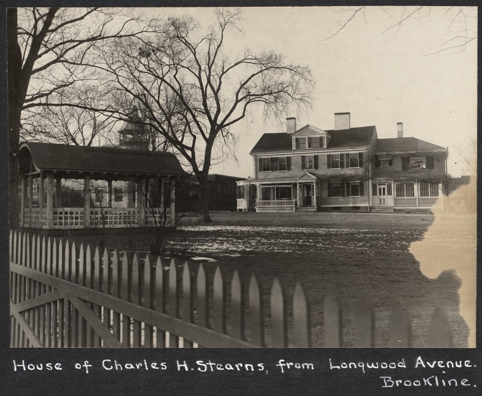 |
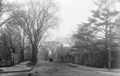
Charles H. Stearns House, 265 Harvard St.
Viewed from Longwood Ave. The driveway entrance is located to the left rear at the apex of Harvard St. and Longwood Ave. The S.S. Pierce tower in Coolidge Corner can be viewed in the distance.
[Source: Digital Commonwealth]
|
 |
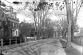
Charles H. Stearns House, 265 Harvard St.
Viewed from Longwood Ave. The driveway entrance is located to the left rear at the apex of Harvard St. and Longwood Ave. No longer standing.
[Source: Brookline Preservation Department]
|
 |
63 Harvard Ave., 1900
House of the Lyman T. Clark family, still standing.
[Source: Digital Commonwealth]
|
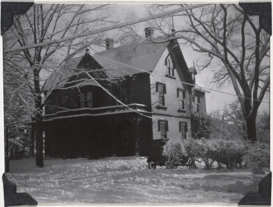 |
44 Harvard Ave., March 1914
House of Frank W. Burdett, no longer standing.
[Source: Digital Commonwealth]
|
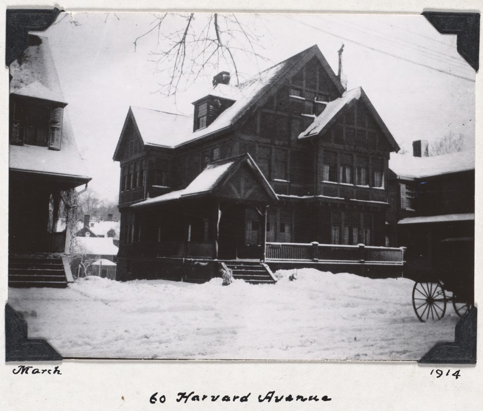 |
60 Harvard Ave., March 1914
House of Harold Bowditch, still standing.
[Source: Digital Commonwealth]
|
 |
Coolidge Apartment Building, 1913
N.E. Corner Sewall Ave and Stearns Rd.
|
 |
The Coolidge Apartment Building
Northeast Corner Sewall Ave and Stearns Rd.
|
 |
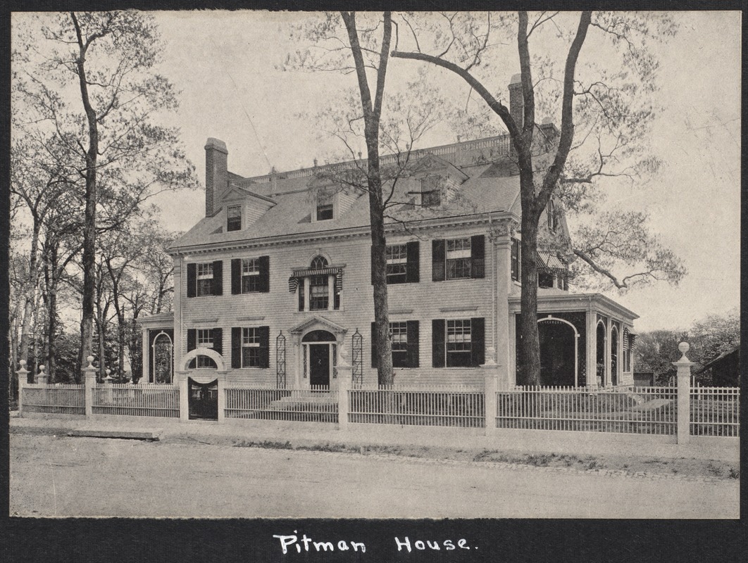
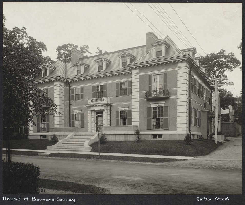
121 Carlton St. "Pittman Place"
Corner of Euston St. (on the left). Brick siding was later added.
[Source: Smithsonian]
|
 |
Ivy St., circa 1910
Looking west from Carlton St. The gate to 135 Ivy St., still standing, is visible in the foreground. That is followed by 40 Prescott St., still standing, Prescott St., 165 Ivy St. which has been replaced by two houses.
|
 |
Ivy St., circa 1910
Looking east toward St. Mary's St. 111 Ivy St. is in the foreground followed by #101, both still standing.
|
 |
156 Ivy St.
Photo by Mary Francis (Fannie) Gregory. The Gregory family lived directly across the street at 165 Ivy St. as of the first town directory in 1868. Fannie Gregory (1855-1946) never married and continued to live there after the death of her parents. The house was sold in 1902 and replaced by a large brick mansion (no longer standing). She moved to nearby Monmouth St.
[Source: Digital Commonwealth]
|
 |
121 Carlton St. "Pittman Place"
Corner of Euston St. (on the left).
[Source: Digital Commonwealth]
|
 |
156 Ivy St., Rear
Circa 1910. Shot by a postcard photographer for wealthy heiress Blanche Shimmin who lived there 1906-1910.
|
 |
Amory Park and Cottage Farm
Looking north across Amory Park from 1236 Beacon St. (no longer standing). Background left, the rear of 200 Ivy St. is viewed and, on the right, 21 Mason St.
[Source: Brookline Preservation Department]
|
 |
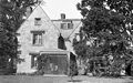
122 Carlton St.
[Source: Smithsonian]
|
 |
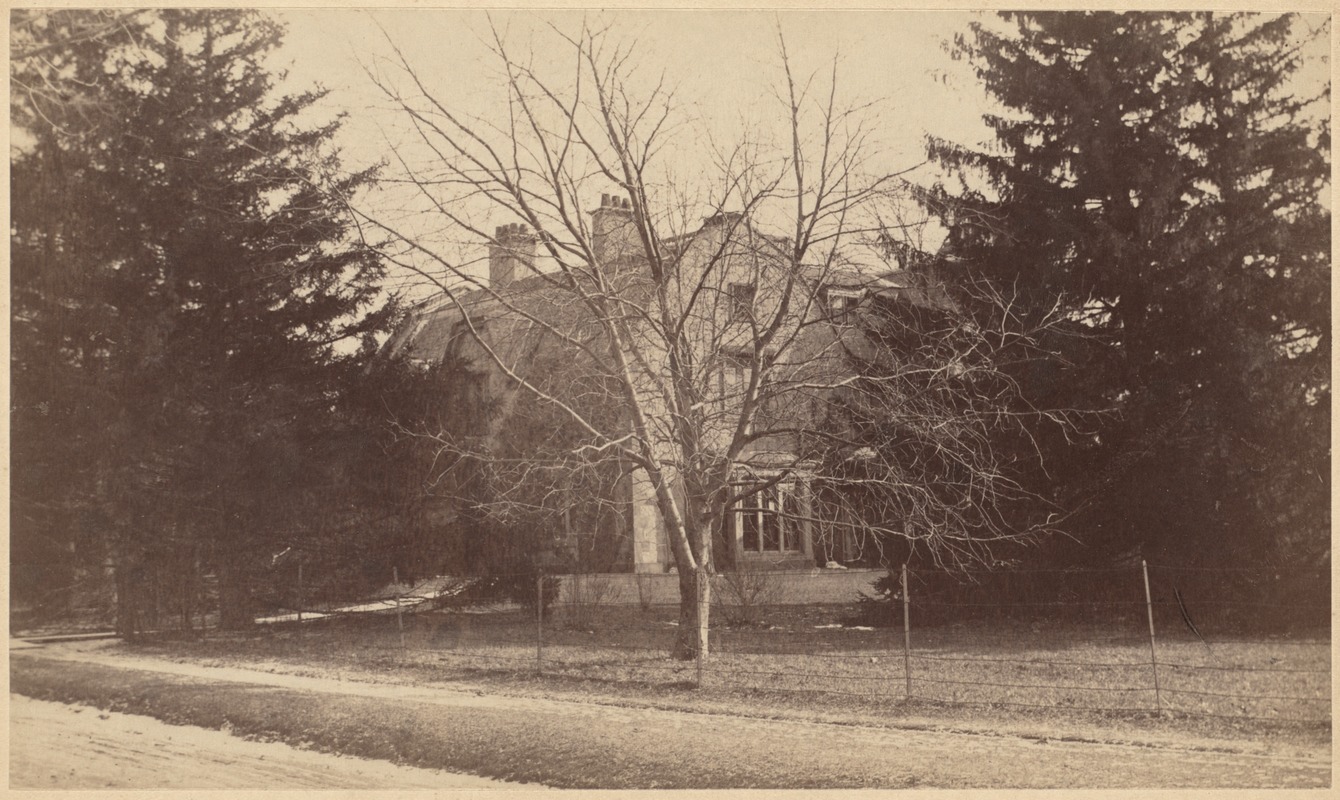
165 Ivy St.
No longer standing. The former house of Henry Saltonstall Howe and Katharine Dexter (Wainwright) Howe. Henry S. Howe was a wealthy cotton manufacturer and commission merchant. The Howes were living on adjacent Essex St. when they had this house constructed in 1902. Henry Howe died in 1931, three months after the death of his wife, and there are no recorded occupants of the house after that. By 1941, the house had been torn down and the property was the site of the first of the four houses that remain there today.
[Source: Smithsonian]
|
 |
132 Carlton St.
Still standing.
[Source: Digital Commonwealth]
|
 |
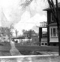
Williston Rd., November 1915
Looking northwest from Evans Rd. toward Corey Rd. #55 at the corner.
[Source: Olmsted]
|

