|
The Society
Historical Information
Photo & Map Collections
Exploring Brookline
Links
Program Archives
|
Photo Collection
 |
Brookline Village
|
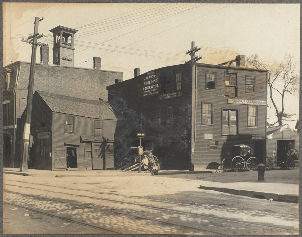 |
High St. Corner, Brookline Village, circa 1905
Standing on today's Rt.9. To the left is the corner of Hose House #1 and Chemical Engine #1. To the right of that, also on Lower Washington St. is P. J. Burns, Horse Shoe Forge. On the upper right, are the High St. businesses of George M. and Thomas K. Forster, Upholsterer and Henry J. Pineo, Carpenter and Builder.
[Source: Digital Commonwealth]
|
 |
High St.
The east side of High St. just south of Walnut St., all buildings demolished. From left to right:
- The Brookline Friendly Society
-
- 16 High St. apartment building
- 18 High St. the Brookline Screen and Shade Co.
- 20 High St. apartment building
[Source: Brookline Preservation Department]
|
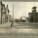 |
Boylston St. Looking East, December 23, 1915
Note in particular the now-halved advertisement for “Pure-Clean Quaker Oats”. In late 1912, Boylston St. was widened and approximately ten feet of the Guild Building removed. From left to right on that side of the street are seen:
- 21 Boylston St.: Nathaniel L. Walker, carpenter
- 21 Boylston St.: John J. Horgan, horse shoer
- 19 Boylston St.: John S. O’Day, stables
- 7 Boylston St.: Martin Geier, hairdresser. The building at 7-11 Boylston was constructed in 1912 and still stands today.
- 160 Washington St.: the Guild Building
[Source: Olmsted]
|
 |
Boylston St., circa 1876
North side of Boylston, numbers 45, 43, 41. In the far distance: on the left is the new town hall, in the middle is the Baptist Church on Harvard St., on the right is the top of Panter’s building.
From Photographs of Brookline: taken about 1876 / Richard Hills. Call No.: BROOKLINE/Special (CAGE B.R. 974 H6), Brookline Public Library.
[Source: Brookline Preservation Department]
|
 |
Boylston St., circa 1876
Looking east towards the Village Square. Number 45 is on the far left.
[Source: Brookline Preservation Department]
|
 |
Oliver Whyte House, Walnut & High, circa 1860s
Located behind the Village Square fire station on the southeast corner of High St. and Walnut St. With the death of his widow the house was torn down in 1871. Note the two women on the stoop of the house.
[Source: Digital Commonwealth]
|
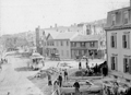 |
Relocation of the Village Brook, circa 1893
Looking east on lower Washington St. toward Huntington Ave, Boston. Walnut St. feeding in on the right. Note that this is one of two different views taken at the same time.
Tom Condon, Sr. Civil Engineer for Brookline writes:
The work shown is part of the relocation of the outlet of the Village Brook. …(in the pile of lumber in the background you can see a piece of the curved falsework used
to hold the brick arch until the cement mortar set.). Leverett Pond was created from the Muddy River marsh located just south of Washington Street by installing a stop plank manhole (in effect an adjustable height dam) in the new culvert under Washington Street. This stop plank manhole was necessary to hold back the pond since the Charles and therefore the Muddy Rivers were still tidal at that time. Presumably, Alexis French (who was both Olmsted's engineer and the Town Engineer) determined that more flow into this new pond was necessary. To provide this additional flow, the Village Brook which flows alongside what is now the MBTA "D" line was diverted into the culvert shown under construction. The culvert runs east down Washington Street, crosses Walnut Street, runs down Morss Avenue (now discontinued), across Pond Avenue and into Leverett Pond.
|
 |
Relocation of the Village Brook, February, 23, 1894
Tom Condon, Sr. Civil Engineer for Brookline writes:
The work shown is part of the relocation of the outlet of the Village Brook. …(in the pile of lumber in the background you can see a piece of the curved falsework used
to hold the brick arch until the cement mortar set.). Leverett Pond was created from the Muddy River marsh located just south of Washington Street by installing a stop plank manhole (in effect an adjustable height dam) in the new culvert under Washington Street. This stop plank manhole was necessary to hold back the pond since the Charles and therefore the Muddy Rivers were still tidal at that time. Presumably, Alexis French (who was both Olmsted's engineer and the Town Engineer) determined that more flow into this new pond was necessary. To provide this additional flow, the Village Brook which flows alongside what is now the MBTA "D" line was diverted into the culvert shown under construction. The culvert runs east down Washington Street, crosses Walnut Street, runs down Morss Avenue (now discontinued), across Pond Avenue and into Leverett Pond.
|
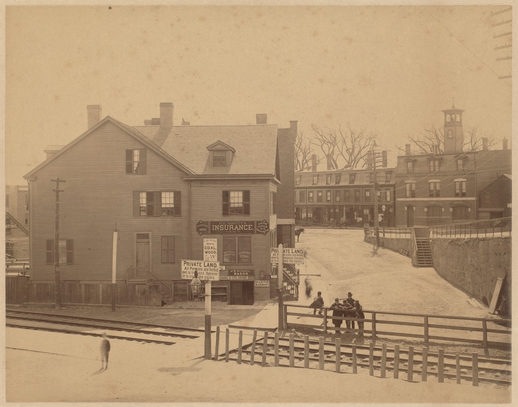 |
Brookline Village, Village Square, 1885
The side road shown here will soon become part of the widening of Washington St. and its bridge over the tracks. Today's Rt. 9 is in the distance, Boston to the left.
[Source: Digital Commonwealth]
|
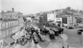 |
Brookline Village, 1937
Looking east on lower Washington St. toward Boston. Parker Hill and N.E. Baptist Hospital upper right. Walnut St. on the right. Taken on 11/29/1937 by C. Parker, Brookline Engineering Dept.
|
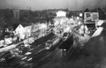 |
Brookline Village, 1937
Looking east on lower Washington St. toward Boston. Walnut St. on the right. Note scaffolding for the construction of the Brookline Theater on the left side of the street. All the buildings were raised in the 1960s as part of a large urban redevelopment program. Photo taken on 11/29/1937 by C. Parker, Brookline Engineering Dept.
|
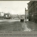 |
Brookline Village, December 23, 1915
Washington St. looking south. Start of Boylston St. background right. Guild building, foreground right. Only the fire station, partial view, remains.
[Source: Olmsted]
|
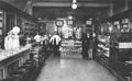 |
Burns Pharmacy, 127 Washington St., Brookline Village
Thomas Edwards Burns (1875 - 1956 ) opened his pharmacy at 127 Washington St. in late 1905 after the closing of the Morlock bakery and restaurant in the 127-131 Washington St. - locations that were on the first floor of the Morlock Hotel. A 1917 postcard written by employee Ethan Ames Howard to his mother describes Burns as the “man on the right” in the photo. Burns Pharmacy remained at that location until the business was taken over in early 1942, becoming Hughes Drug. Co. by that October.
[Source: Joel Shield]
|
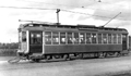 |
Brookline Village: Chestnut Hill Trolley (Boylston St. - Ipswich St. - Brookline Ave.)
|
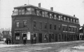 |
Brookline Village, Guild Block Building, circa 1903
Boylston St. looking west to the left; Washington St. on the right. Pictured from left to right:
[#164 Washington St.] On the corner of the Guild Block building, the faded sign of the previous owner of the grocery store, Francis H. Bacon, is still visible to the right. Thomas F. McMahon, who had been a clerk in Bacon’s store, took over the business when Bacon died in 1898.
[#172 Washington St.] Henderson Dairy and T. A. Conroy, Gas and Electric Fixtures.
[#174 Washington St.] Horace James, Mason
[#176 Washington St.] George P. Johnson Fish Co.
[#178 Washington St.] W. H. Pazolt, Sign and Carriage Painting; and F. H. McMahan, Plumber
|
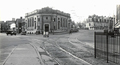 |
Village Square, December 12, 1934
[Source: Leo Sullivan]
|
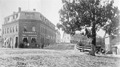 |
Brookline Village, circa 1875
This is the oldest known photograph of the Village which includes the “Guild Block”. On the corner is J. Anson Guild’s grocery store which was a Village fixture for many years. On the right side of the building are a number of small businesses: wheelwright, fish market, barber, plumber. The top floor was called “Goddard Hall” and was used for dances and meetings.
Only one side of Washington St. has a bridge over the railroad tracks. The small road to the right is essentially another lane of Washington St. with additional access under the bridge to White Place. In ten years, the bridge would extend across both lanes and the entrance to White Place would be raised to that level.
[Source: Brookline Public Library]
|
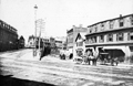 |
Brookline Village, Washington St.
Looking north on Washington St. Only one side of Washington St. has a bridge over the railroad tracks. The small road to the right is essentially another lane of Washington St. with additional access under the bridge to White Place. In 1888, the bridge would be extended across both lanes.
|
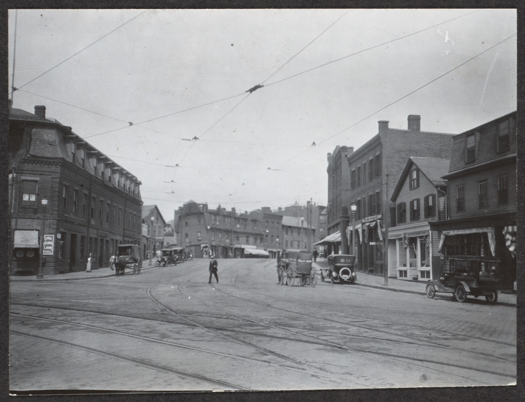 |
Brookline Village, circa 1913
Washington St. looking north. On the far left, the removal of the side of the Guild Building facing Boylston St. can be partially glimpsed. This was to accommodate the 1912 widening of Boylston St.
[Source: Digital Commonwealth]
|
|

 The Society
 Program Archives