 |
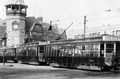
Three-car Train on Today's C
Seen here traveling east in Coolidge Corner, these cars were manufactured as part of a group of center-entrance cars, numbered from 6100 to 6299, that were introduced in1919/20. They were reduced in service by the late 1930s but briefly returned to service during periods of increased demand during World War Two.
|
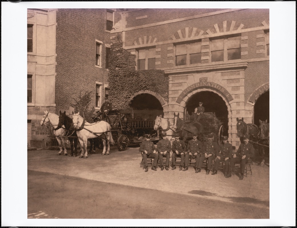 |
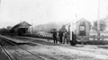
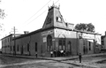
Fire Station G (now Station 7), Washington Sq., circa 1907
Station G at 665 Washington St. was opened in late 1899 and is still active today as Fire Station No. 7. It housed three companies: Hook and Ladder #1, Combination Company #4, and Steam Engine #2.
The tall fire fighter seated on the right is John F. (Jack) Norton who worked as a ladderman at the station between 1905 and 1908.
[Source: Digital Commonwealth]
|
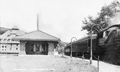 |
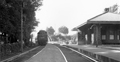
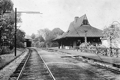
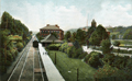
Beaconsfield Train Station
Looking east at the Beaconsfield station, built 1906. On the left is the building housing the garage and stables of Beaconsfield Terraces. The lower half remains today as the base of an apartment building.
[Source: Joel Shield]
|
 |
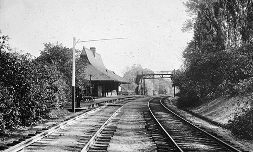
Beaconsfield Train Station
Looking east at the Beaconsfield station, built 1906. On the left is the building housing the garage and stables of Beaconsfield Terraces, its lower half remains today as the base of an apartment building. The building in the background is no longer standing.
|
 |
Beaconsfield Train Station, September 8, 1926
Boston and Albany Railroad Locomotive No. 309, looking west.
|
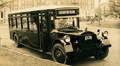 |
Boston Elevated Railway Bus, Circa 1927
The Boston Elevated Railway opened a de luxe bus line between Brookline and Boston in 1927. It initially started in Coolidge Corner, that was later extended to Washington Square. The license plate of this bus, stopped in Cleveland Circle, is dated 1927 but it is not clear which route is involved. Beacon St. inbound is off screen to the right. Bostons Sutherland Rd. descends in the middle of the photo.
[Source: Joel Shield]
|
 |
Reservoir Station, Boston and Albany Railroad
[Source: Iowa State]
|
 |
Reservoir Station, Boston and Albany Railroad
[Source: Iowa State]
|
 |
Reservoir Station, Boston and Albany Railroad
[Source: Iowa State]
|
 |
Reservoir Station Trolley Barn
Looking east from Chestnut Hill Ave.
[Source: Joel Shield]
|
 |
Reservoir Station Trolley Barn
Looking east from Chestnut Hill Ave.
[Source: Joel Shield]
|
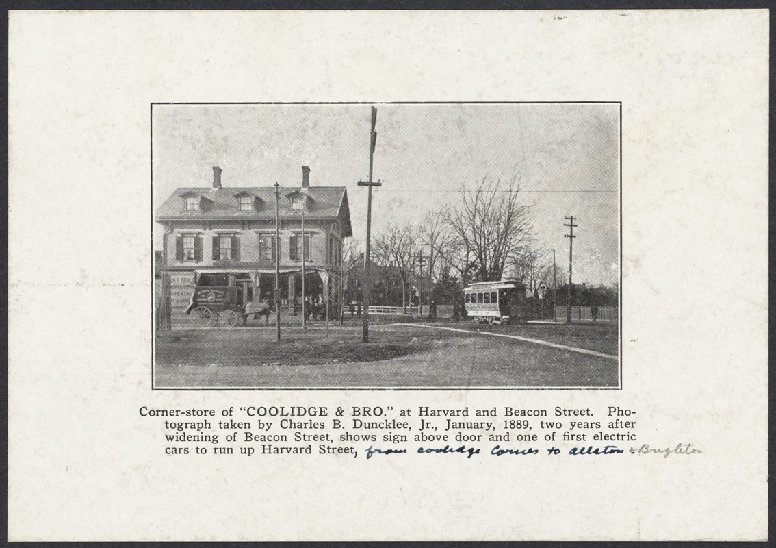 |
Coolidge Corner, January 1889
Looking north on Harvard St. In the center rear is the house on Harvard St. on the southeast corner with Green St. The listed photographer is Charles B. Duncklee who would have been only 18 at the time of the photo. The actual photographer may be his father, Charles Tilton Duncklee, an amateur photographer who co-founded a camera club in Brookline in the same year.
[Source: Digital Commonwealth]
|
 |
Early Open-air Trolley Car
One of the early trolley cars to run on Beacon St. after an accident. Note the damage to the pillars on its right side. This location is unidentified.
|
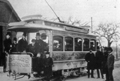 |
Early Beacon St. Trolley Car
Shown in front of the Oak Square, Brighton car barn. This car ran on Henry Whitney's groundbreaking streetcar line which started service in 1889. It was used on two routes: Beacon Street from Coolidge Corner to the Chestnut Hill Reservoir and from the Allston powerhouse to the car barn in Oak Square.
|
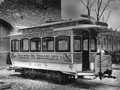 |
First Electric Trolley Car, N. 443
This car was built in 1888 as a horsecar and converted by Henry Whitney's West End Railway Co. to run as the first electric trolley car in Brookline. The groundbreaking streetcar line started service in 1889 as part of the widening of Beacon Street and ran from Union Square, Allston over Harvard Street, Beacon Street, Massachusetts Avenue, and Boylston Street. The coupling for horses was left in place in case of the need for a tow. This location is unidentified.
|
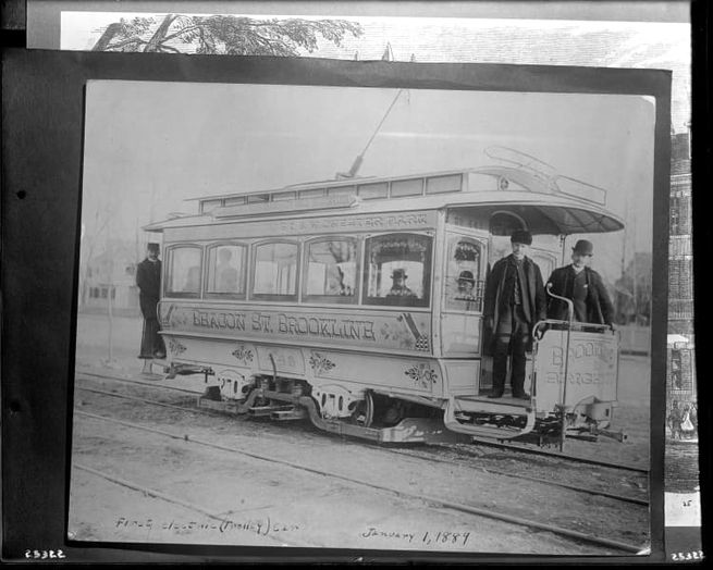 |
Trolley Car No. 443. January 1, 1889
This car was built in 1888 as a horsecar and converted by Henry Whitney's West End Railway Co. to run as the first electric trolley car in Brookline. The groundbreaking streetcar line started service in 1889 as part of the widening of Beacon Street and ran from Union Square, Allston over Harvard Street, Beacon Street, Massachusetts Avenue, and Boylston Street. The coupling for horses was left in place in case of the need for a tow.
[Source: Historic New England]
|
 |
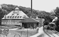
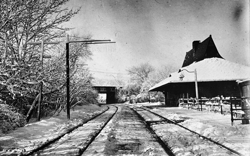
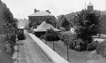
Cypress St. Train Station
Standing on Cypress St. looking west at the station. Tappan St. goes west right behind the station. This precedes the 1891 construction of the bridge over the tracks that still stands today.
|
 |
Brookline Hills Station, 1907
|
 |
Locomotive of the Boston and Albany Railroad, circa 1910
Heading east at the Brookline Hills Station. The Manual Training School is behind the station The High School is on the right..
|
 |
Walnut St. and Morss Ave.
Occupied at the time of this photo by the Brookline Riding Academy at #2 and #4 Walnut St, this building was first erected in 1875 by the Metropolitan Railway Co. to house the horse-drawn cars servicing the Brookline-Roxbury Crossing-Tremont House line. It was closed as a car house in December, 1894, with the move to new electrified routes, and demolished in 1937.
[Source: Leo Sullivan]
|

