 |
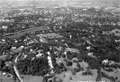
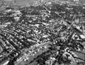
Aerial View, South Brookline, Circa 1930
Looking North toward Rt. 9 reservoir; Charles River (photo top)
|
 |
Aerial Photo, Warren St. Area, 1930
[Source: Digital Commonwealth]
|
 |
Aerial Photo, Warren St. Area, 1930
[Source: Digital Commonwealth]
|
 |
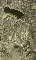
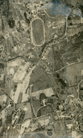
Aerial Photo, Sargent's Pond Area, 1930
Cottage St. on the left.
[Source: Digital Commonwealth]
|
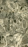 |
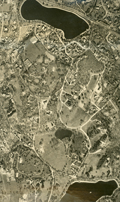
Aerial Photo, The Country Club Area, 1930
Newton St. runs left to right.
[Source: Digital Commonwealth]
|
 |
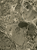
Aerial Photo, The Country Club Area, 1930
Newton St. runs left to right. Partial view of the Larz Anderson estate on the right.
[Source: Digital Commonwealth]
|
 |
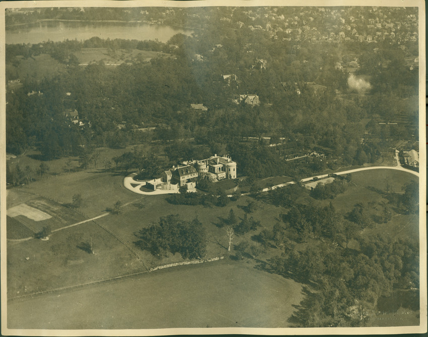
Aerial View, Larz Anderson Park Northward
Larz Anderson Park in the foreground, Jamaica Pond on the right, Charles River in the distance.
[Source: Brookline Preservation Department]
|
 |
Aerial View, Larz Anderson Park Northward
Locations by clock position:
- [2:30] Larz Anderson estate
- [3:30] Pond St.
- [8:30] Mt. Walley Ave.
- [11:00] The Country Club horse-racing track
[Source: Brookline Preservation Department]
|
 |
Aerial View, Larz Anderson Park Northward
[Source: Historic New England]
|
 |
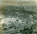
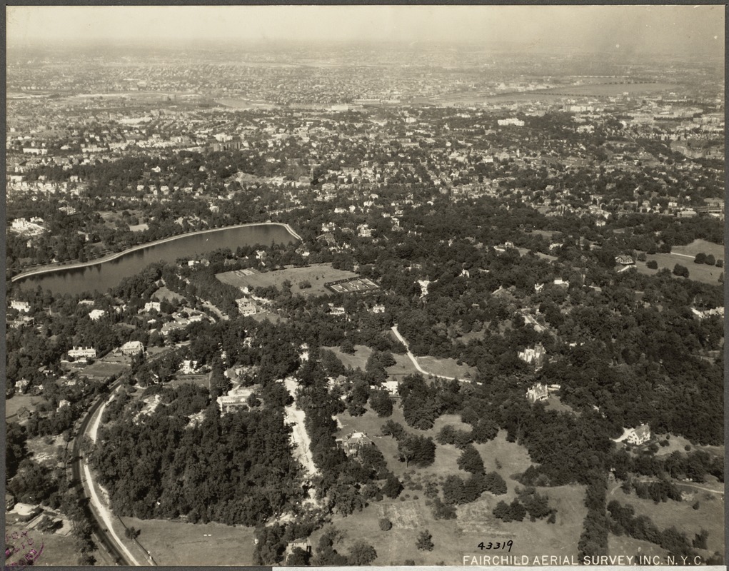
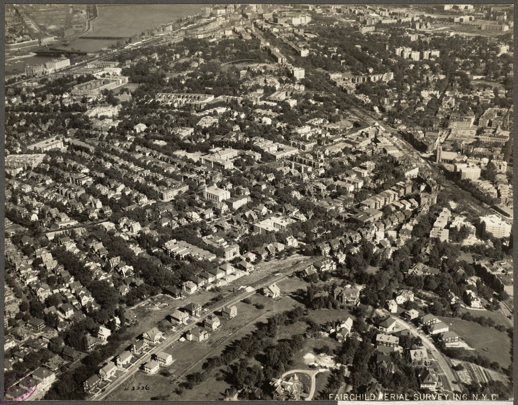
Aerial View, Southeast Brookline, Circa 1930
Looking from Jamaica Pond area toward Rt. 9 reservoir (photo middle), Fisher Hill Reservoir, and NW to Chestnut Hill Reservoir (photo upper left), Intersection of Goddard Ave. and Cottage St, photo lower left.
|
 |
Aerial View, Southeast Brookline, 1925
[Source: Digital Commonwealth]
|
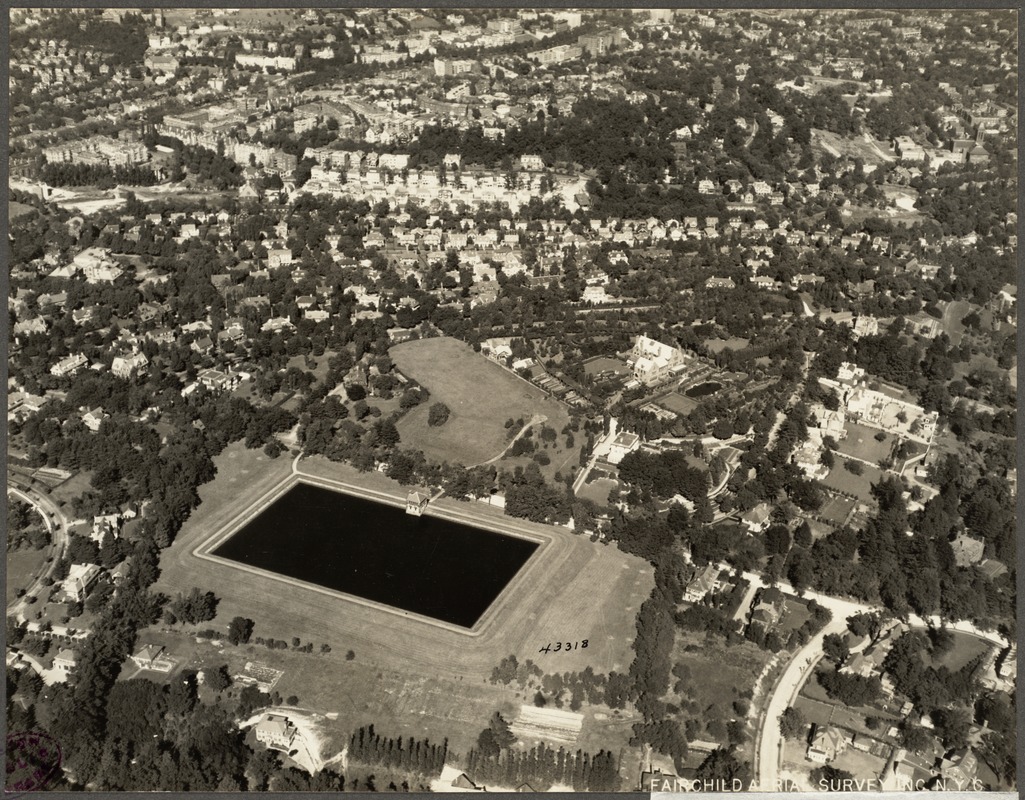 |
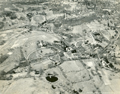
Aerial View, Fisher Hill, 1925
[Source: Digital Commonwealth]
|
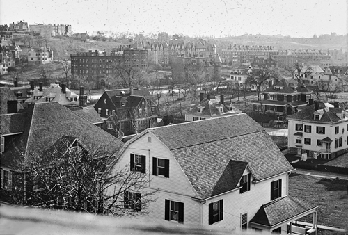 |
Aspinwall Hill, Looking SW from Lancaster Terrace
Foreground:view from rear of 65 Westbourne Terrace;
Background right: 3 apartment buildings on Garrison Rd.
[Source: Iowa State]
|
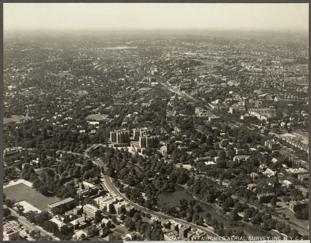 |
Aerial View, Longwood Area, 1925
[Source: Digital Commonwealth]
|
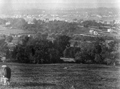 |
View From Corey Hill
Looking toward Allston-Brighton
[Source: Brookline Public Library]
|
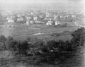 |
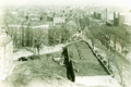
View From Corey Hill
Identification pending.
[Source: Brookline Public Library]
|
 |
Aerial View, Corey Hill, 1925
[Source: Digital Commonwealth]
|
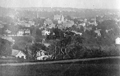 |
View From Corey Hill
The third town hall in Brookline Village is prominent in the center.
[Source: Brookline Public Library]
|
 |
Beacon St. At Summit Ave., 1929
[Source: Brookline Preservation Department]
|
 |
Aerial View, North Brookline, Circa 1930
Charles River (photo top left); Beacon St (photo middle top to middle right); Summit Ave. (photo middle bottom)
|

