 |
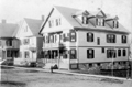
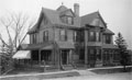
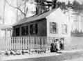
16 and 18 Bowker St., Early 1900s
Note room-to-let sign
|
 |
16 and 18 Bowker St., Early 1900s
14 Bowker St. is to the left, the rear of 44/46 Brook St. is to the right. 22 Bowker St., built in 1912, is not present. Both doors of 16 Bowker St. are open with a family out front. No families matching the four people present could be identified. The extended Horton family lived at 16 Bowker from 1906 1910. Maud Horton and husband, George Lewis Coleman, lived there with one young daughter.
|
 |
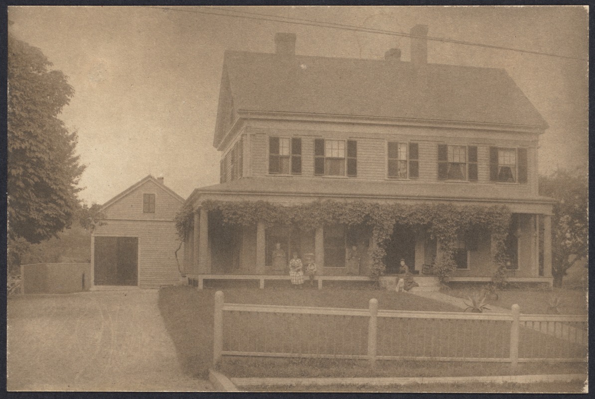
Isaac Gardner House, Chestnut Hill Ave
Built 1770; At the age of 49 was chosen Captain of Militia and he commanded the Brookline Minutemen who assembled at the Meeting House for the Battle of Lexington. He was shot dead by the British while dringking at a well in Cambridge.
|
 |
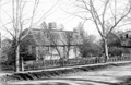
26 Edgehill Rd.., 1888.
Residence of Samuel Cabot, Jr. 20 Edgehill Rd. is partially visible to the left. Both houses still standing. In the far distance is Boston's Mission Hill.
|
 |
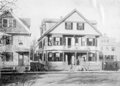
54 Gardner Rd., 1888
Home of William E. Lincoln. Still standing.
|
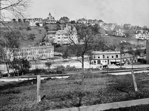 |
Corey Hill
Viewed from Gardner Road. [Center right] building currently housing Athan's, corner Washington & Beacon
[Source: Iowa State]
|
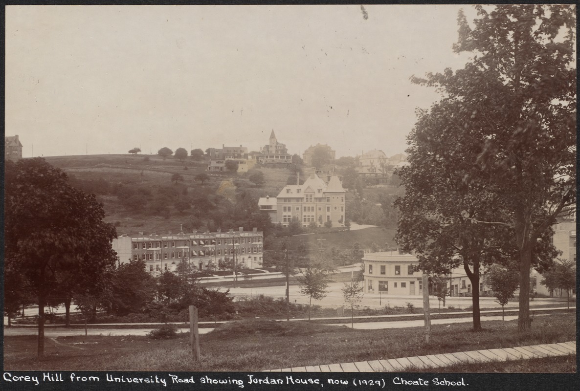 |
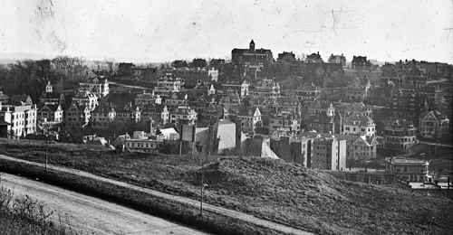
Corey Hill, 1929
[Source: Digital Commonwealth]
|
 |
David Sullivan Coolidge House, 470 Harvard St.
Coolidge's Corner, the original name of Coolidge Corner, was named for the Coolidge & Brother store he built for his younger brothers William and George on the northwest corner Harvard and Beacon Streets. David's son, Henry, lived at 488 Harvard St.
[Source: Digital Commonwealth]
|
 |
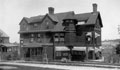
Richard's Tavern, Heath St. near Hammond St.
Northeast corner of Heath and Hammond. Known as the "Old Stage Coach Tavern". Built circa 1760-70. The Worcester Turnpike (Rt. 9) passed behind the house where a tollgate was located.
|
 |
Aspinwall Hill, Looking SSW from Corey Hill
Background: Washington, University, Winthrop streets
Foreground right: building currently housing Athan's, corner Washington & Beacon
Background center: skyline houses on Addington Rd. Large mansion to the left with the tall spire was built by Clarence Esty at 97 Addington Rd. part of a group of Esty houses that have since been replaced by Schick Park. The spire was an observation tower equipped with a high-powered telescope that enabled detailed viewing of distant scenes.
[Source: Iowa State]
|
 |
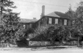
Widow Harris House, built 1772, now in Larz Anderson Park
Newton St. at the park entrance. Maintained by the Historical Society.
|
 |
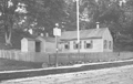
Putterham School, Newton St. at Grove St., circa 1895
|
 |
Putterham Schoolhouse, Newton St. at Grove St., circa 1900
Sign in the front says Newton St. and lists mileages to various locations
|
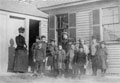 |
Putterham Schoolhouse Students, circa 1907
|
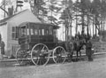 |
Putterham Schoolhouse Carriage, Newton St. at Grove St.
|
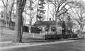 |
Putterham School, original Location at Grove & Newton Sts., 1931
|
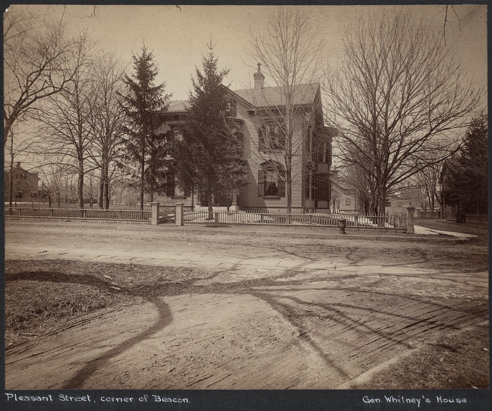 |
James Whitney House, Pleasant St., 1887
Beacon St. is running along the left border of the photo, the turn onto Pleasant is just visible in the foreground. On the left, in the distance, is the Coolidge & Brother store.
From the 1887 photo series taken just before the widening of Beacon St., most likely by Augustine H. Folsom, a Boston photographer.
[Source: Digital Commonwealth]
|
 |
Beacon St. Looking West From Pleasant St., 1887
Near left is the side of the old school house that was torn down for the widening. In the far distance is the watering station in fron of the Coolidge & Brother store.
From the 1887 photo series taken just before the widening of Beacon St., most likely by Augustine H. Folsom, a Boston photographer.
[Source: Digital Commonwealth]
|
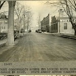 |
Pleasant St.., November 1915
Looking north toward Commonwealth Ave. Buildings on the right are incorporatd into a modern-day composite building. House foreground right is still standing.
[Source: Olmsted]
|
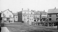 |
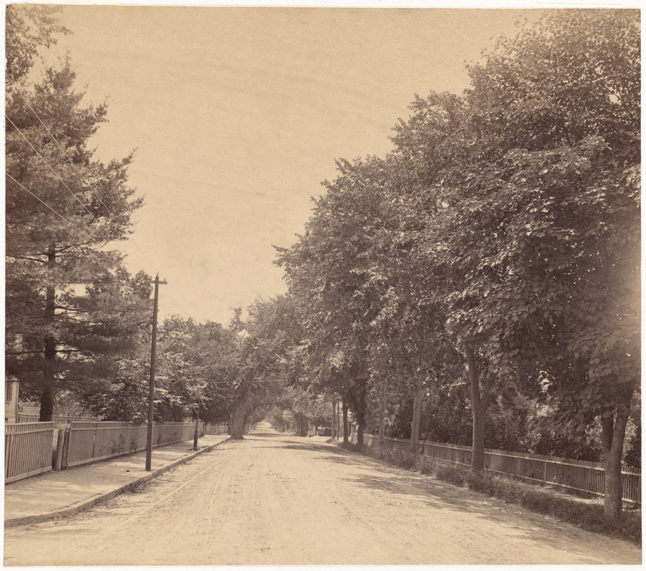
Houses on Boston Border, Viewed from Brookline
Standing in Brookline on Pond Ave. looking at houses on the northern side of Boston's Huntington Ave (then-named Tremont St.). Transition to Brookline's Washington St. off-photo left. Entrance to Boston's Downer St. is photo center left. Muddy River culvert foreground right.
|

